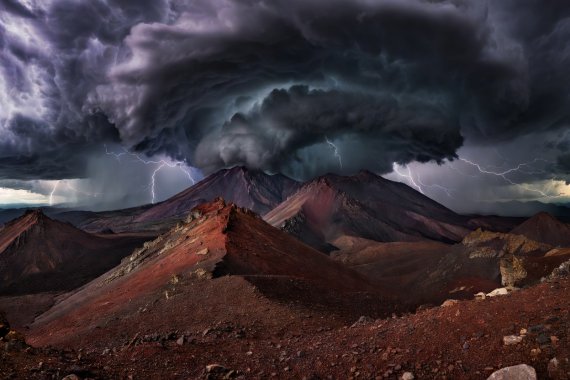
Mountain Route Cartography
Traversing unmarked high-altitude alpine routes demands an exacting appraisal of topography, gradient angles, seasonal snowpack holdovers, and viable exit couloirs. Below are field-surveyed overland corridors designed for self-reliant wilderness navigators.
The Sawtooth Highline Divide
Distance: 74.2 Kilometers | Cumulative Gain: +4,820 m | Technical Grade: Class 3 Talus
Cutting straight across the central batholith of central Idaho, the Sawtooth Highline avoids manicured recreational valley trails in favor of exposed granite knife-edges, high tarn basins, and boulder field traverses. Navigating this sector demands constant micro-route finding around sheer basalt dikes.
Water access remains abundant across cirque basins through mid-September, though freezing night conditions frequently glaze high creek crossings with treacherous black ice. Bailout routes descend east into Stanley Basin via Redfish Creek.
Wind River Cirque Traverse
Distance: 112.5 Kilometers | Cumulative Gain: +6,100 m | Technical Grade: Class 4 Scramble / Microspikes Mandatory
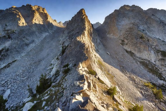
The Wind River Range presents one of the most sustained stretches of subalpine exposure in North America. Traversing between Texas Pass, Knapsack Col, and the Glacier Trail requires crossing unmaintained glacial terminal moraines and negotiating shifting field scree.
Bears (Ursus arctos horribilis) are active throughout this wilderness pocket; rigid food canister discipline is legally required and survival-critical. Snow bridges over glacial melt rivers collapse regularly by early afternoon due to ambient warming.
San Juan Alpine Scree Circuit
Distance: 88.0 Kilometers | Cumulative Gain: +5,400 m | Technical Grade: High Class 2 / Loose Volcanic Conglomerate
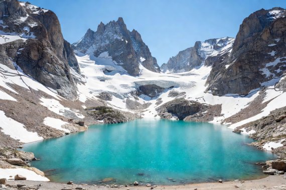
Carving through Colorado's volcanic heartland, this route crosses five passes exceeding 3,800 meters. The chief obstacle here is not technical pitch climbing, but highly unstable volcanic conglomerate rock that fractures under minimal boot pressure.
Severe afternoon convective lightning squalls develop with rapid ferocity between 11:30 and 16:00. The operational rule across this sector is strict: summit all high col points by 10:30 AM or retreat immediately to lower drainage tree cover.